What is this? AI tool to estimate where a photo was taken
AI Photo Geolocation
WhereLens helps you estimate where a photo was taken. Upload one image, add optional clues, and get ranked location candidates with confidence scores.
Why Choose Our AI Engine?
WhereLens isn't just matching images; it's understanding the world. Our neural networks analyze subtle clues that the human eye might miss.
Architectural DNA
Analyzing roof styles, window joinery, and masonry patterns.
Biogeography
Identifying plant species and soil types unique to regions.
Semantic Clues
Extracting and translating text from signs and billboards.
Solar Analysis
Estimating latitude based on shadow angles and light quality.
Guests have 3 of 3 free recognitions left today. Sign in for 5 daily credits.
Upload 1 Outdoor Photo to Start
Supports JPG, PNG, WEBP (Max 10MB)
No photo selected
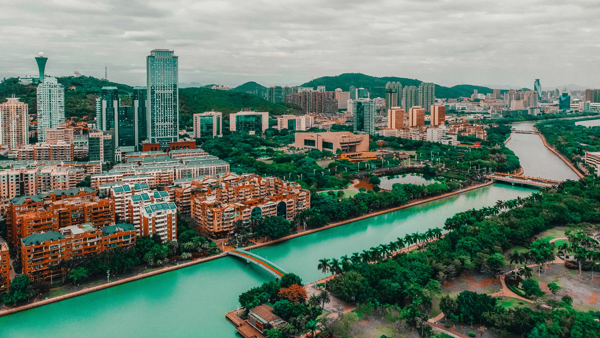
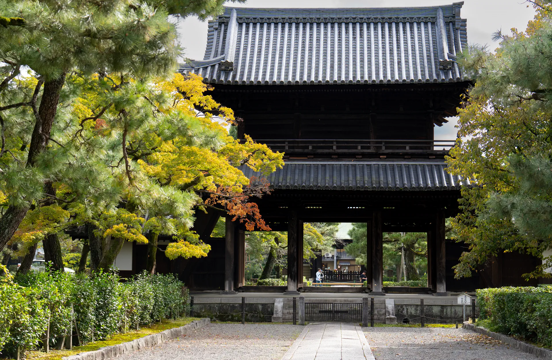
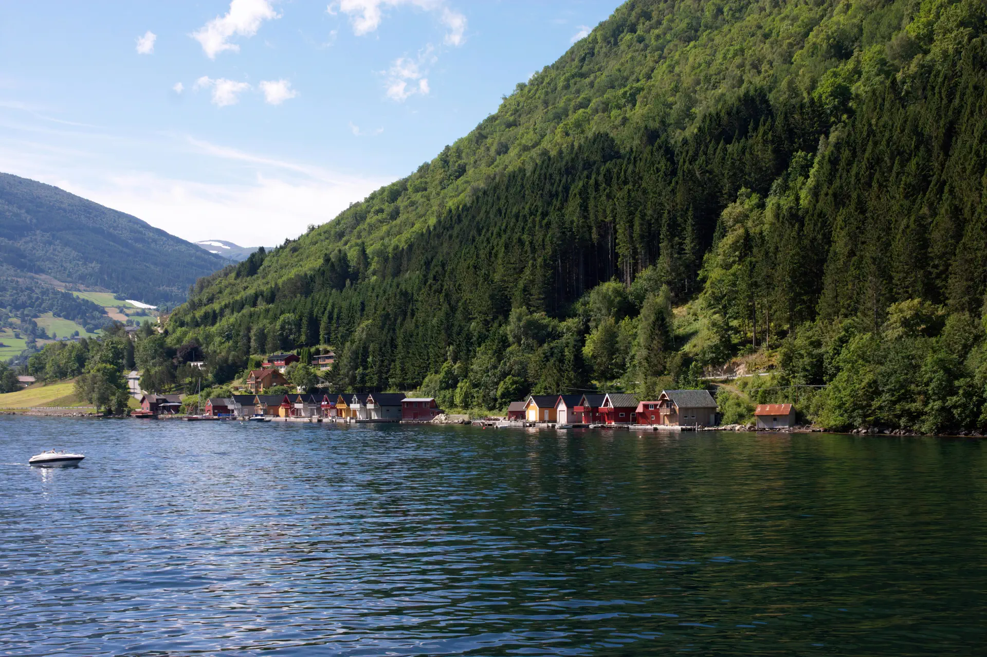
Demo Case Library
Frequently Asked Questions
Results are probabilistic, not exact GPS. Clear landmarks, street text, architecture, and terrain usually improve accuracy.
Your photo is used only for this analysis request and is not publicly shared. Avoid uploading sensitive personal content.
Use outdoor photos with visible buildings, signs, roads, mountains, coastline, or unique vegetation. Blurry or indoor photos usually perform worse.
Each account gets 3 free credits per day. A successful first analysis costs 1 credit, and clue-based reruns are free (up to 3 times).
Click Forgot Password in the login dialog. We send a verification code to your email so you can set a new password.
Treat the top result as a strong hint. Compare the top 3 candidates and verify with external maps or local knowledge before making decisions.
Ready to Discover the World?
Join thousands of users and start identifying your photos today. Get precise geolocation data in seconds.